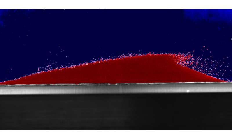
Although they are an inanimate collection of objects, sand dunes can 'communicate' with each other. Researchers from the University of Cambridge have discovered that as they shift, sand dunes interact with and repel their sand dune neighbors downstream.

[Another sand dunes post?! Yes, it's true that Dunes hold a special place in my heart and in the heart of Maizie. On Sunday, on a blue-sky 75 degree F day, Maizie dug happily in a big sand pit on our walk as I thought "We need to get back to the Great Sand Dunes (above) in southern Colorado." Of course, today is not that day as it was -5 degrees F this morning. An 80 degree F swing? Yes, indeed. See above photo from the National Park Service.]

"Using an experimental dune 'racetrack', the team observed that two identical dunes start out close together, but over time they get further and further apart. This interaction is controlled by turbulent swirls from the upstream dune, which push the downstream dune away. The results, reported in the journal Physical Review Letters, are key for the study of long-term dune migration, which threatens shipping channels, increases desertification, and can bury infrastructure such as highways.
When a pile of sand is exposed to wind or water flow, it forms a dune shape and starts moving downstream with the flow. Sand dunes, whether in deserts, on river bottoms or sea beds, rarely occur in isolation and instead usually appear in large groups, forming striking patterns known as dune fields or corridors."

"Active sand dunes migrate. Generally speaking, the speed of a dune is inverse to its size: smaller dunes move faster and larger dunes move slower. What hasn't been understood is if and how dunes within a field interact with each other."


"There are different theories on dune interaction: one is that dunes of different sizes will collide, and keep colliding, until they form one giant dune, although this phenomenon has not yet been observed in nature," said Dr. Karol Bacik of Cambridge's Department of Applied Mathematics and Theoretical Physics, and the paper's first author. "Another theory is that dunes might collide and exchange mass, sort of like billiard balls bouncing off one another, until they are the same size and move at the same speed, but we need to validate these theories experimentally."


Now, Dr. Bacik and his Cambridge colleagues have shown results that question these explanations. "We've discovered physics that hasn't been part of the model before," said Dr. Nathalie Vriend, who led the research.

Dr. Bacik hadn't originally meant to study the interaction between two dunes: "Originally, I put multiple dunes in the tank just to speed up data collection, but we didn't expect to see how they started to interact with each other," he said.

"The two dunes started with the same volume and in the same shape. As the flow began to move across the two dunes, they started moving. "Since we know that the speed of a dune is related to its height, we expected that the two dunes would move at the same speed," said Vriend, who is based at the BP Institute for Multiphase Flow. "However, this is not what we observed."

Initially, the front dune moved faster than the back dune, but as the experiment continued, the front dune began to slow down, until the two dunes were moving at almost the same speed.

Crucially, the pattern of flow across the two dunes was observed to be different: the flow is deflected by the front dune, generating 'swirls' on the back dune and pushing it away. "The front dune generates the turbulence pattern which we see on the back dune," said Vriend. "The flow structure behind the front dune is like a wake behind a boat, and affects the properties of the next dune."

As the experiment continued, the dunes got further and further apart, until they form an equilibrium on opposite sides of the circular flume, remaining 180 degrees apart.

The next step for the research is to find quantitative evidence of large-scale and complex dune migration in deserts, using observations and satellite images. By tracking clusters of dunes over long periods, we can observe whether measures to divert the migration of dunes are effective or not.

Steph


